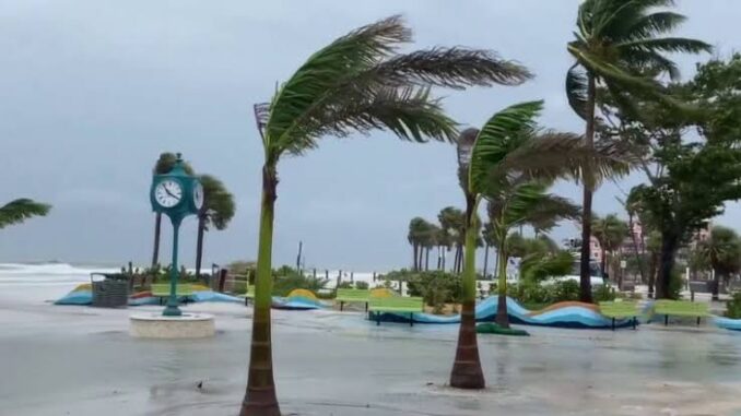
More stormy weather is in store across parts of Southwest Florida Sunday, but most of the rain will hold off until the late afternoon and evening.
Before the storms arrive, expect hot and hazy conditions thanks to a layer of Saharan dust still high above the Gulf Coast.
Areas of rain and thunderstorms will start popping up after 2 to 3 p.m., but we’ll likely see our highest rain chances after 5 p.m.
Today’s storms will be capable of producing very heavy rain, intense lightning, strong wind gusts and even small hail.
The active weather pattern continues to start the workweek, with another round of storms developing during the mid-to-late afternoon.
Leave a Reply